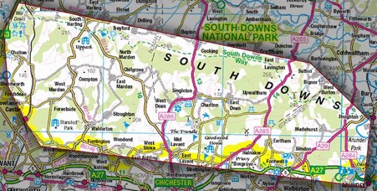
Our two earlier posts on the LiDAR-based archaeological research into what lurks within the wooded areas of the South Downs were in July 2013 and March 2014. The SDNPA is now calling for volunteers to (i) poke around in the woods [field surveys], (ii) poke around in dusty boxes in Chichester [archive research], or (iii) interrogate elderly locals [oral history]. More information here and at the WSCT.