
In Horsham District, the infection persists. Their Strategic Housing and Economic Land Availability Assessment (SHELAA), January 2019, reads as follows (page 52):
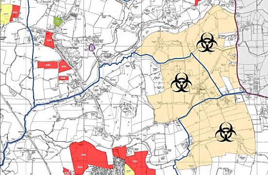
This site has evolved from an area initially identified as a broad location of search following the publication of the 2010 New Market Town Study, commissioned jointly by Crawley Borough Council (CBC), Mid Sussex District Council (MSDC) and Horsham District Council (HDC). The developer has previously expressed a preferred approach for a development of up to 10,000 dwellings on land in both Horsham and Mid Sussex administrative areas. However, within HDC a development of up to 6,120 dwellings together with associated infrastructure is currently being proposed for consideration. The site falls in Woodmancote, Shermanbury and Henfield parish areas.
The site is in multiple land ownership, which may affect deliverability. Landowner interest in developing the whole site would therefore need to be carefully tested. There would also be a need for cross boundary working, with MSDC and with West Sussex County Council.
The site has a range of environmental and infrastructure constraints including an area of flood risk which would require mitigation. If developed, the site would need to create its own social, economic, transport and utilities infrastructure. Improved connectivity to the trunk road and rail network (which is some distance away) would also need to be carefully considered. Any major development would also need to take account of the retail viability of existing settlements such as Henfield. Unless allocated for development through the review of the Horsham District Planning Framework (HDPF) it is considered development would be contrary to Policies 1 to 4 and 26 of the HDPF and potentially other policies relating to the constraints of the site. It is therefore assessed as ‘Not Currently Developable’.