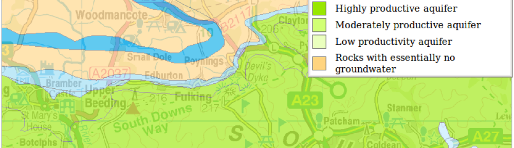
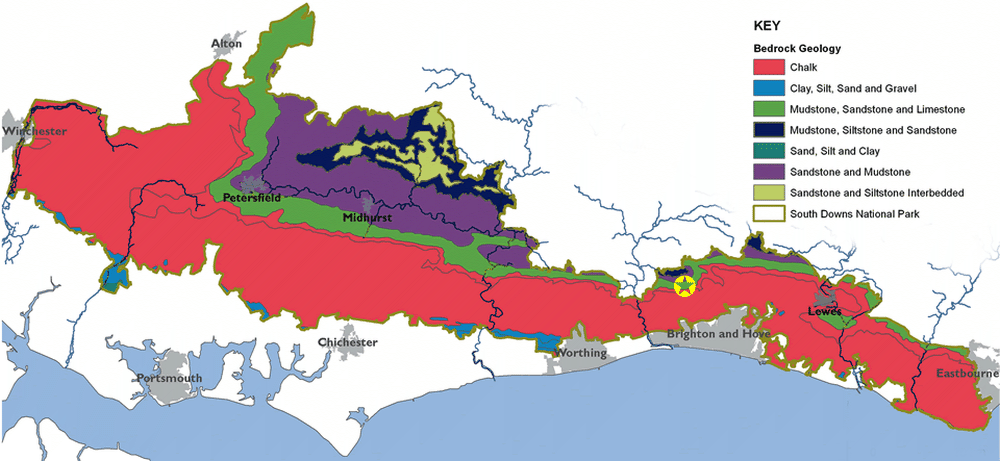
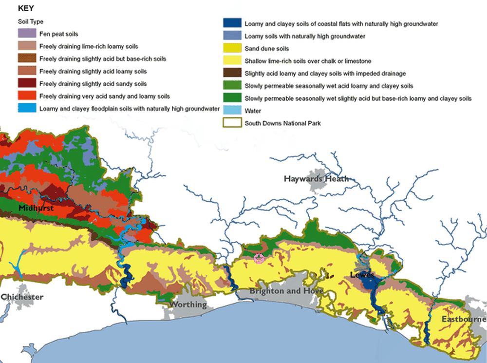
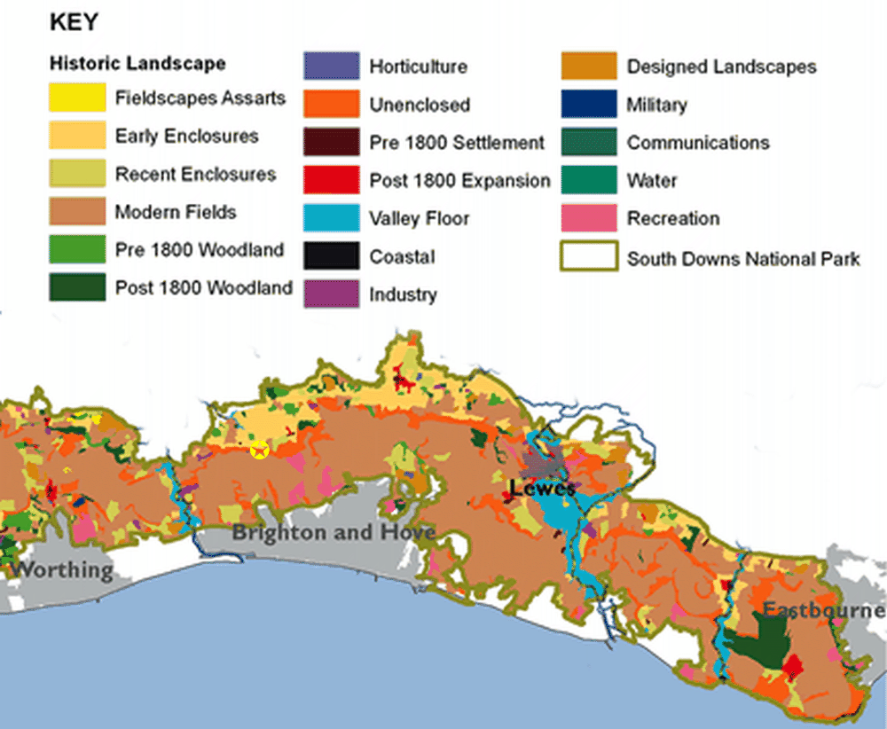
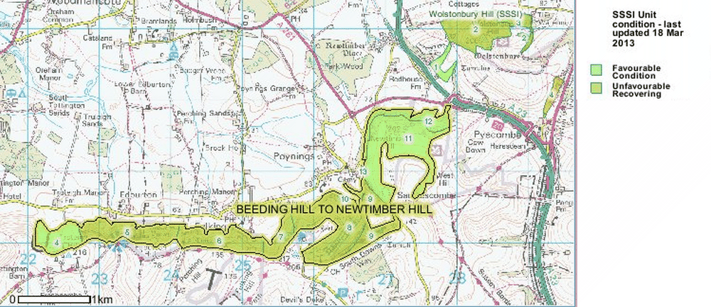
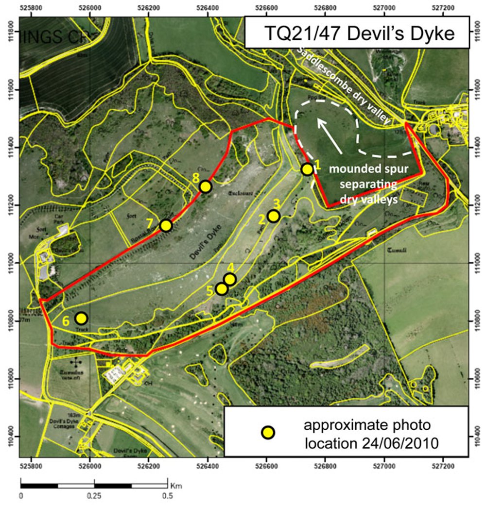
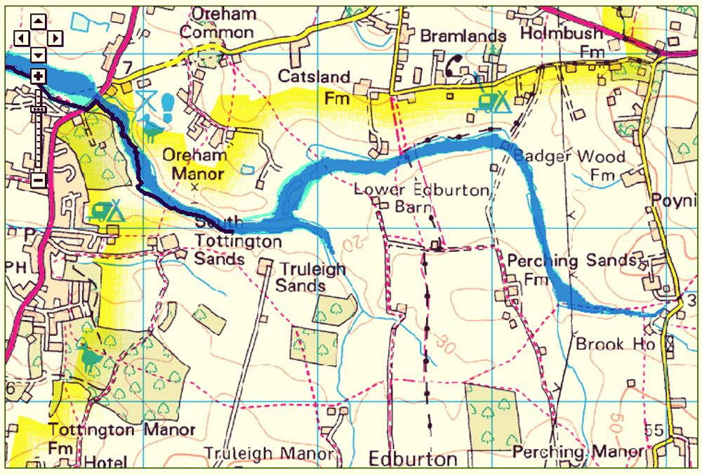
The maps above derive from the British Geological Survey and are provided under the terms of the Open Government Licence. Contains British Geological Survey materials © NERC 2013.
The maps above derive from those found in Chapter 2 of the 2012 edition of the State of the National Park Report issued by the SDNPA. The originals were produced GeoSpec, University of Brighton, in February 2012.
![The Beeding Hill to Newtimber Hill SSSI](https://fulking.net/wp-content/uploads/2013/03/Beeding_Hill_to_Newtimber_Hill.png)
The Beeding Hill to Newtimber Hill SSSI (site of special scientific interest), map © Natural England, 2012.
![The Geology of Devil's Dyke TQ21/47](https://fulking.net/wp-content/uploads/2013/03/The_Geology_of_Devil_s_Dyke_TQ21_47.jpg)
The geology of Devil’s Dyke: clicking the image will take you through to the relevant Sussex Geodiversity page and allow you to access the photographs that correspond to the numbered yellow dots.
![Risk of flooding area in Edburton and Fulking](https://fulking.net/wp-content/uploads/2013/03/Risk_of_flooding.jpg)
The risk area (blue) for flooding in Edburton and Fulking: the Environment Agency rates the risk as ‘significant’ which means that there is a greater than 1 in 75 chance of flooding in any given year.
Further Reading:
- The Sussex Geodiversity Website.
- West Sussex County Council (2003) Geology and Hydrogeology — a chapter from a consultation document [PDF].
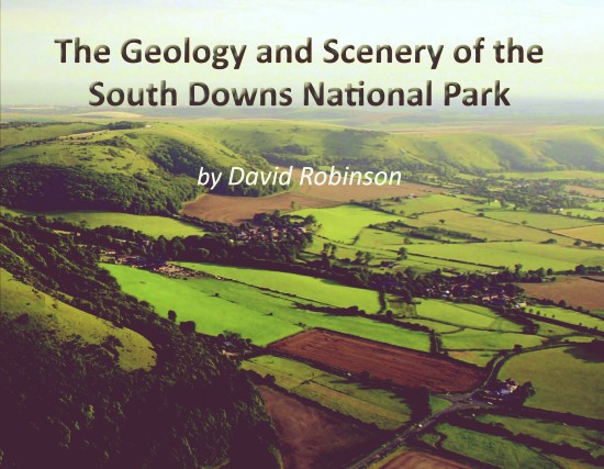
- David Robinson (2013) The Geology and Scenery of the South Downs National Park. Lewes: The Sussex Archaeological Society. [The best available book for the non-specialist reader. The book is short and to the point with lots of highly relevant illustrations. Fulking and Edburton muster over half a dozen references in the index. Strongly recommended.]
20th March 2013; updated 23rd March, 28th July, 16th October, 7th November 2013; 23rd March 2014