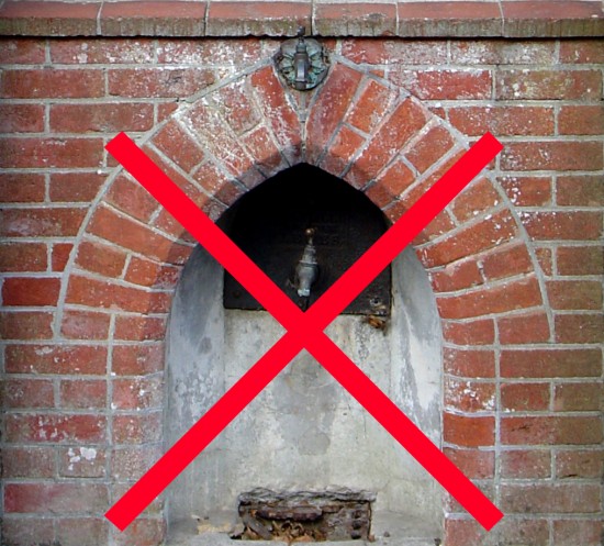
If you have ever wondered what it would be like to race south down Saddlescombe Road with your nose just twelve inches from the tarmac, well, here’s your chance to find out. It is somewhat gripping in a Warhol/Empire kind of way, only shorter.
New South Downs Book Series

UPDATE, 21st July: all three volumes are now available — my copies arrived a couple of days ago, GJMG.
There’s a new book series on the South Downs with volumes on the archaeology (John Manley), geology (David Robinson) and natural history (Robin Crane and Rendel Williams). The geology volume appears to be available now but note that there’s a slightly discounted price if you order all three volumes at the same time.
Autumn Nature Tots
News from Fernhurst

Update: Nick Herbert in Hansard.
Mapping the woods

Ann Bone, the authority’s cultural heritage expert, said laser technology on a plane would be used to produce a map of the landscape under the trees. Archaeological work on the ground would then follow .. Maps will be created of the most densely-wooded area from the River Arun to the A3 road. .. Data gathered by directing a laser at the ground and measuring the reflected light would provide a three-dimensional map showing all the “humps and bumps” under the forest.
The £935,756 project has received nearly £662,000 from the Heritage Lottery Fund and up to £130,000 from the park authority.
Update: the SDNPA press release.

